Currencies

Shipping country

Categories

Shopping cart

You do not have any products in your shopping cart yet.

Welcome back!

Last viewed:

New products

Wild Leica M8 user manual

Wild Leica M8 user manual
24,90 CHF
VAT excl. excl. Shipping costs

Manufacturer information

Wild Heerbrugg AG
More products

Manufacturer

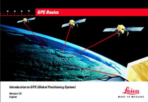
Wild GPS Basics - Introduction to GPS (Global Positioning System)

Wild GPS Basics - Introduction to GPS (Global Positioning System)

Zoom Zoom image

14,90 CHF

VAT excl. excl. Shipping costs

Shipping time:1-2 Days

Product no.: 1066
Manufacturer: Wild Heerbrugg AG
More products of: Wild Heerbrugg AG

Print datasheet
downloads: 


Introduction to GPS (Global Positioning System)

Version 1.0
English
713282-1.0.0en  -  1999  -  64 pages 

Preface
Why have we written this book and who should read it?
Leica manufactures, amongst other things, GPS hardware and software.
This hardware and software is used by many professionals in many applications.
One thing that almost all of our users have in common is that they are not GPS scientists or experts in Geodesy.
They are using GPS as a tool to complete a task. Therefore, it is useful to have background information about what GPS is and how it works.
This book is intended to give a novice or potential GPS user a background in the subject of GPS and Geodesy. It is not a definitive technical GPS or Geodesy manual. There are many texts of this sort available, some of which are included in the reading list on the back pages.
This book is split into two main sections.
The first explains GPS and how it works.
The second explains the fundamentals of geodesy.

Contents
Preface ........................................................... 4
1. What is GPS and what does it do ? .......... 5
2. System Overview ....................................... 6
2.1 The Space Segment ............................................... 6
2.2 The Control Segment .............................................. 8
2.3 The User Segment ................................................. 9
3. How GPS works....................................... 10
3.1 Simple Navigation .................................................. 11
3.1.1 Satellite ranging .................................................... 11
3.1.2 Calculating the distance to the satellite ................. 13
3.1.3 Error Sources ........................................................ 14
3.1.4 Why are military receivers more accurate ? ........... 18
3.2 Differentially corrected positions (DGPS) ................19
3.2.1 The Reference Receiver ........................................ 20
3.2.2 The Rover receiver ................................................. 20
3.2.3 Further details ....................................................... 20
3.3 Differential Phase GPS and Ambiguity Resolution ...22
3.3.1 The Carrier Phase, C/A and P-codes .................... 22
3.3.2 Why use Carrier Phase? ....................................... 23
3.3.3 Double Differencing ............................................... 23
3.3.4 Ambiguity and Ambiguity Resolution ...................... 24
4. Geodetic Aspects..................................... 26
4.1 Introduction ...........................................................27
4.2. The GPS coordinate system .................................28
4.3 Local coordinate systems ......................................29
4.4 Problems with height .............................................30
4.5 Transformations .....................................................31
4.6 Map Projections and Plane Coordinates .................34
4.6.1 The Transverse Mercator Projection ...................... 35
4.6.2 The Lambert Projection ......................................... 37
5. Surveying with GPS ................................ 38
5.1 GPS Measuring Techniques ..................................39
5.1.1 Static Surveys ........................................................ 40
5.1.2 Rapid Static Surveys .............................................. 42
5.1.3 Kinematic Surveys ................................................. 44
5.1.4 RTK Surveys .......................................................... 45
5.2 Pre-survey preparation ...........................................46
5.3 Tips during operation .............................................46
Glossary ....................................................... 48
Further Reading .......................................... 59
Index ............................................................. 60

Customers who bought this product also bought the following products:

Wild Heerbrugg - pride in precision work

Wild Heerbrugg - pride in precision work


Wild Heerbrugg - pride in precision

19,90 CHF ( VAT excl. excl. Shipping costs)
Wild - Geodetic and topographic Instruments

Wild - Geodetic and topographic Instruments


Wild - Geodetic and topographic Instruments - bocklet

24,90 CHF ( VAT excl. excl. Shipping costs)
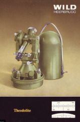
Wild Theodolites - bocklet

Wild Theodolites - bocklet


Wild Theodolites - bocklet

24,90 CHF ( VAT excl. excl. Shipping costs)
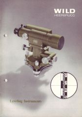
Wild - Leveling Instruments

Wild - Leveling Instruments


Wild - Leveling Instruments


19,90 CHF ( VAT excl. excl. Shipping costs)
Wild - the principle of modern surveying instruments

Wild - the principle of modern surveying instruments


Wild - the principle of modern surveying instruments


19,90 CHF ( VAT excl. excl. Shipping costs)
Wild - Surveying Instruments in the Industry

Wild - Surveying Instruments in the Industry


Wild - Surveying Instruments in the Industry

14,90 CHF ( VAT excl. excl. Shipping costs)

This Product was added to our catalogue on 01/11/2013.

[Overview] |  Product 1 of 1 in this category

Newsletter subscription

E-mail address:

The newsletter can be canceled here or in your Account at any time.