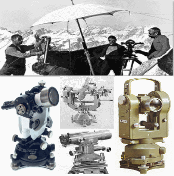
Surveying or geodesy is the technique, profession, and science of accurately determining the terrestrial or three-dimensional position of points and the distances and angles between them, commonly practiced by licensed surveyors, and members of various building professions. These points are usually on the surface of the Earth, and they are often used to establish land maps and boundaries for ownership, locations (building corners, surface location of subsurface features) or other governmentally required or civil law purposes (property sales).
Geodesy, also named geodetics, a branch of applied mathematics and earth sciences, is the scientific discipline that deals with the measurement and representation of the Earth, including its gravitational field, in a three-dimensional time-varying space.
Geodesists also study geodynamical phenomena such as crustal motion, tides, and polar motion. For this they design global and national control networks, using space and terrestrial techniques while relying on datums and coordinate systems.
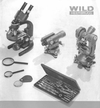
From the beginning, when the company was founded on April 26 1921 (Heinrich Wild, Workshop for Precision Mechanics and Optics) geodesy was the most improtand devision.
This also illustrates the fact that the company name was changed in 1923 to Henry Wild, Surveying instruments supply Co. Ltd, Heerbrugg (Verkaufs-Aktiengesellschaft Heinrich Wild's Geodätische Instrumente).
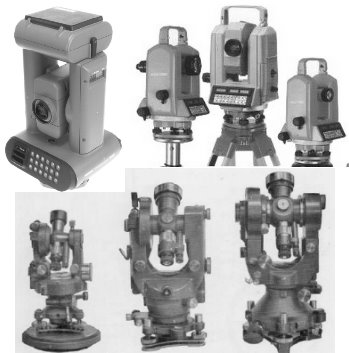
Dis remained so until the year 1990 when Wild Heerbrugg AG merged with other companies to the Leica group..
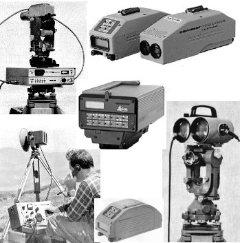
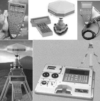
(just click on the link or picture to enter the relevant instrument-categorie)


")


")
 user manual")